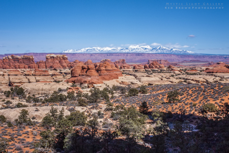
It is day 2 of the adventure, and today’s agenda is to hike The Needles. The Needles District of Canyonlands National Park is in the southernmost part of the park. Canyonlands is huge, it covers nearly 530 square miles!
And it is divided into three districts by two major rivers, the Colorado River and the Green River. Picture a “Y”, being the two rivers that meet. North of the confluence is the Island In The Sky District, a broad and level mesa with many overlooks into the lower canyons. To the west of the confluence is The Maze District, aptly named and primarily accessible by 4wd only. To the east is The Needles District, named for its’ red and white banded pinnacles which dominate it.
Canyonlands is rich in ancient history. Many artifacts from Ancestral Puebloans can be found within the park, such as petroglyphs as seen on Newspaper Rock and dwellings such as False Kiva. And in a small detached section in the northwest part of the park, pictographs dating back to 2000-1000 BC can be found in Horseshoe Canyon (which we will visit at the end of the trip).
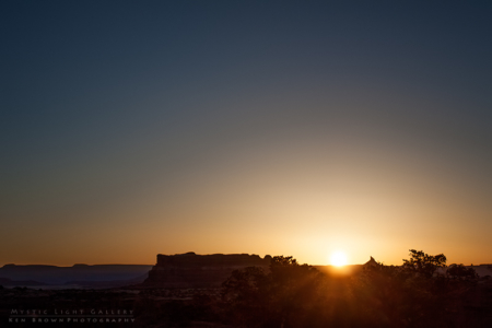
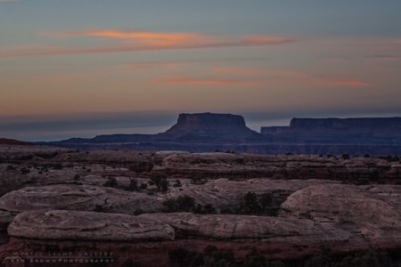
After hitting Andrea’s (The Android) snooze alarm one too many times, I hurried out to a location on the Elephant Hill Road to capture the sunrise. Excited to start the first full day of the trip, and knowing I had a minimum 12 mile hike planned, I headed for the Elephant Hill trailhead.
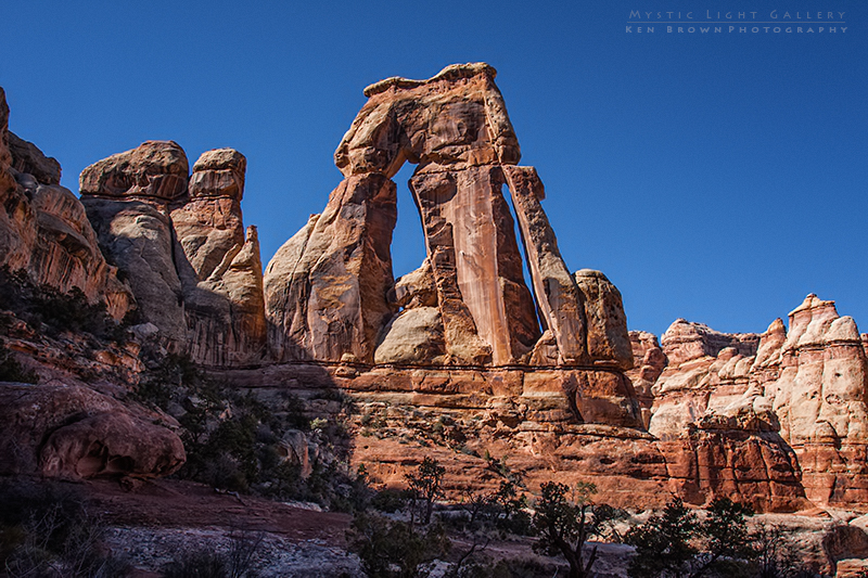
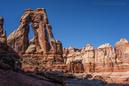
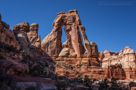
The morning started out clear and a bit brisk at 25°, as I made my way down the trail in the early morning sun. The trail was quite familiar as I had been here just five months ago in October. My goal was to reach Druid Arch at the southern end of Elephant Canyon. My attempt in the fall had ended short of the arch due to an oncoming thunderstorm. And if there is one thing I have learned about myself, is when I want to get somewhere, I will keep trying until I succeed.
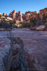
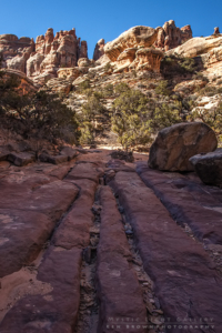
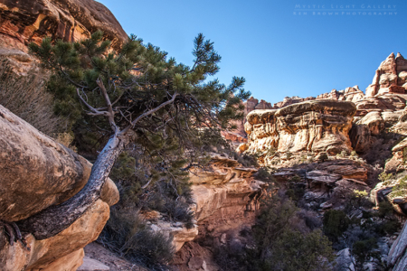
I made good time and was anxious to reach the section with some low 5th class climbing. Here is where I had turned around before, as the rain came down and the slickrock lived up to its’ name. After a few moves, I was on top following a bench above the canyon floor. I knew that this was not the end of the climbing because I had read there was even an area where they had bolted a ladder to the rock to aid in the approach.
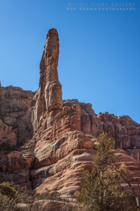
An old friend who had been here many years ago had told me that you couldn’t even see the arch, because of the angle of approach, until you were right next to it. Knowing this, I scanned the rock formations during the climb in hopes of catching a first glimpse of it. I noticed what appeared to be a very large pinnacle high above me and thought “that must be it!” Sure enough, when I got high enough and was looking at it from a different angle, It was breathtaking! Absolutely looks like some gigantic Stonehenge structure. With pillars and crossbeams stacked on top.
After spending quite a bit of time photographing it, I found a spot at the end of a cliff with a view up Elephant Canyon, to eat some lunch. It was very quiet and it felt very remote and isolated. Then the screeching Ravens began to circle. Like vultures waiting for their prey to die, I hoped they didn’t know something I didn’t! I watched as they soared around the cliffs and towers at the end of this box canyon, shrieks echoing off the walls. Cool, I thought!
It was then that it hit me that I felt pretty darn good for being six miles into this hike. And it didn’t take long before I was scanning the topographical map calculating mileage if I was to swing out to Chesler Park on my way back. Heck it will only add three miles or so to the day. I figured if I made good time, I could still be back to the car in time to capture the sunset hour somewhere. So it was decided.
Halfway down the steep climb to the canyon floor, I ran into a nice couple wearing full backpacks. I asked if they were going to camp up there (what a spot that would be!), but they replied…”no, this is just crazy…we should have dumped our packs at the bottom.” They had spent the previous night camped in Chesler Park, and said it would definitely be worth the extra mileage for me to check it out.
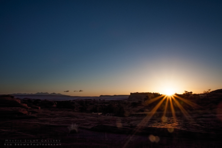
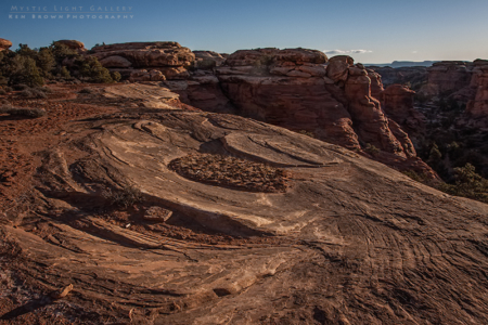
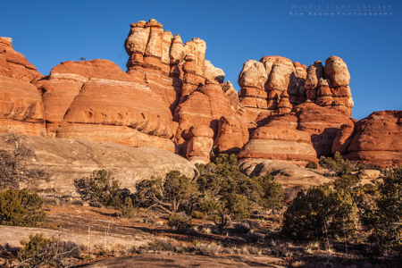
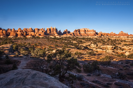
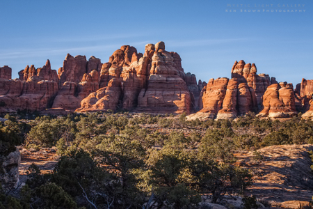
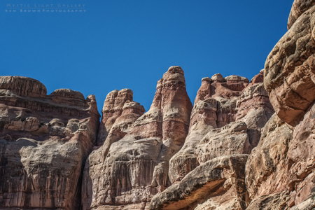
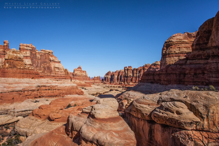
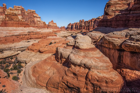
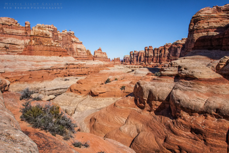
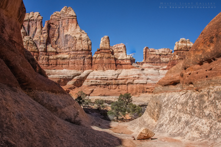
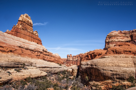
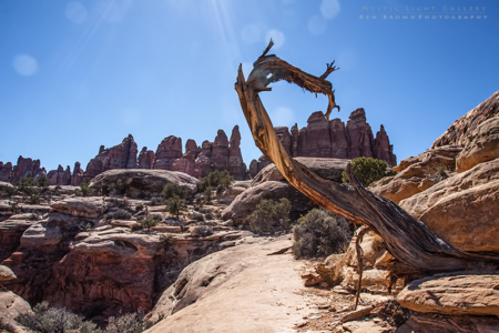
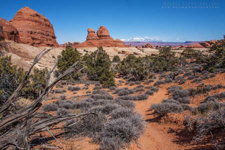
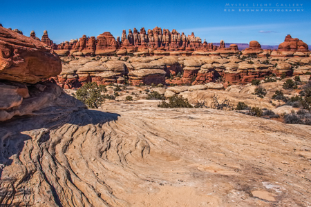
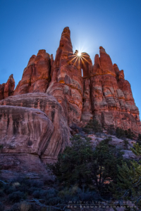
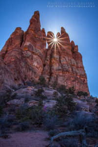
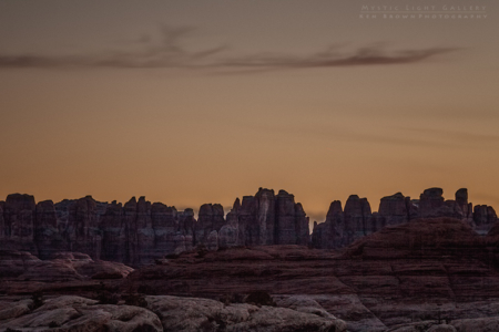
I kept up a good pace as I knew I still had nine miles to go. After an hour or so hiking down the canyon it occured to me that I must have missed the cutoff trail to Chesler. No big deal, I would catch the other end of the loop farther down canyon. It just meant that I would miss out on part of the loop. After making the turn onto the Chesler loop, the trail began its’ steep ascent. It was then that I began to feel effects of the mileage on the body. As I neared the top, there were these fantastic spires! With the sun dipping lower in the sky, I found a suitable spot and did one of my favorite photographic tricks. I stood at the edge of sun/shade created by the sun dropping behind the towers, stopped down the aperture on my camera and captured these great starbursts emanating from the edge of the formations.
After a short break overlooking the great expanse of Chesler Park, I turned and headed back. Knees suffering as I made my way back down the steep trail to the bottom of the canyon. Only to have to climb back up and out on the other side.
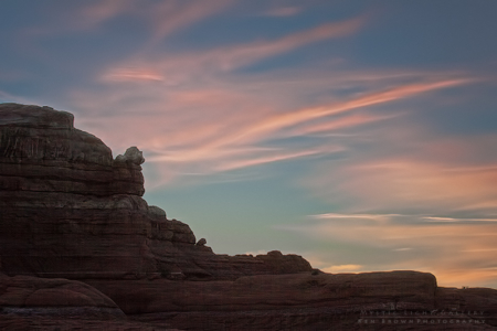
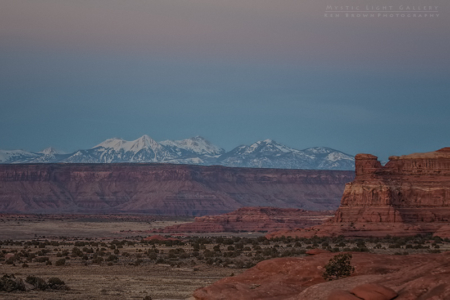
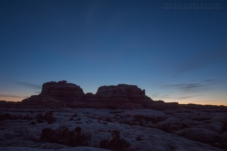
Finally after 15 miles, I was back at the Elephant Hill trailhead. Dead tired, but giddy from the experience, I thought…sunset on the rocks above camp!
What an incredible day! I had reached my goal and more!
After sunset it was journal time and stargazing. Have I told you about the stars…


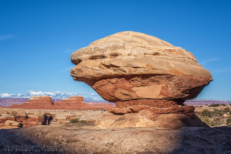

Wow that arch like rock is simply amazing!! It’s simply incredible what millions of years of water and wind can do!! Im not quite sure, but that huge rock on the pedestal, I think that makes a cameo in 127 Hours! One of the flashbacks…I’m not sure just made me think of it!! Once again great job! can’t wait to see the rest of your trip!
I think you may be right about that rock Taylor!