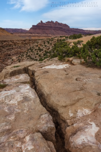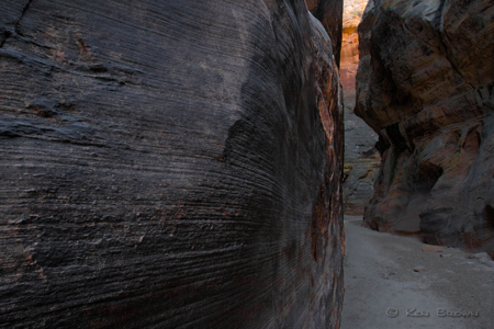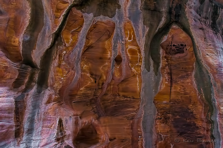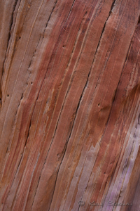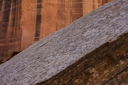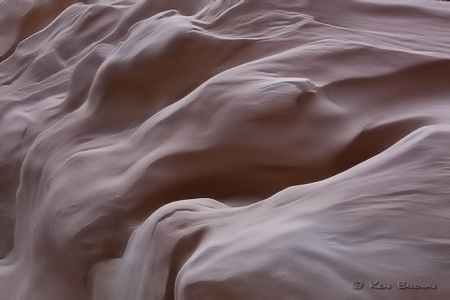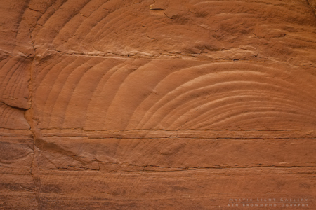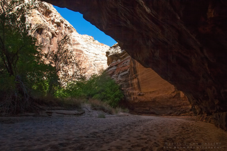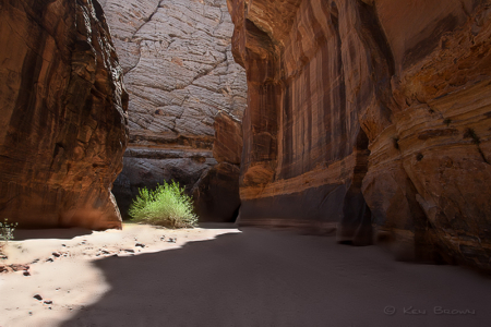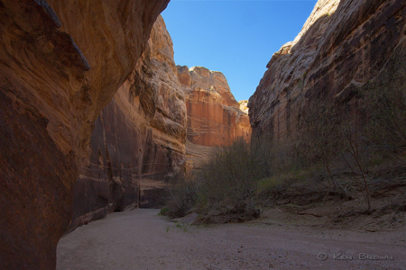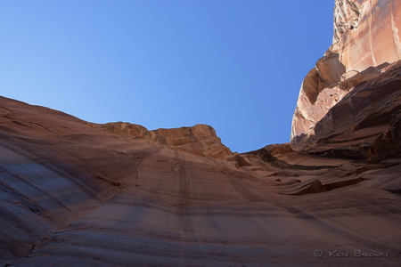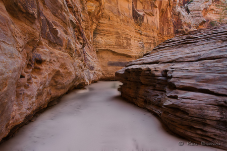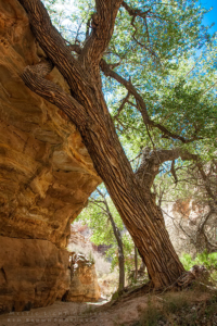
This was a solo weekend trip into the heart of the San Rafael Swell to hike the better part of a slot canyon named Eardley Canyon. I chose this particular canyon because there was supposed to be no technical canyoneering difficulties until about 8 1/2 miles into it. That is what I get for basing my decision on information compiled off unknown sources on the internet.
A little geological background…The San Rafael Swell, approximately 75 miles by 40 miles, consists of a giant dome-shaped anticline of sandstone, shale, and limestone that was pushed up during the Paleocene Laramide Orogeny 60-40 million years ago. Since that time, infrequent but powerful flash floods have eroded the sedimentary rocks into numerous valleys, canyons, gorges, mesas and buttes. The Swell is part of the Colorado Plateau.
Eardley Canyon cuts through The Swell from northwest to southeast, starting on the high dessert plateau winding its way to the eastern slope of the reef. I had decided to start the trip on the northwestern end as this would allow for the most terrain to be explored before encountering any technical difficulties. This also provided easy access from I-70, less than 10 miles off of the highway to the location where I set up a base camp on Cliff Dweller Mesa. En route to Cliff Dweller Mesa, one passes the remains of an old airstrip. I am not certain as to why the airstrip was originally put there. But the only remains that can be seen are the way the sagebrush grows in a straight line along what I figure to be the edge of the strip.
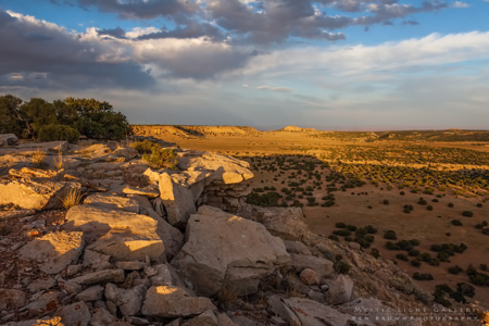
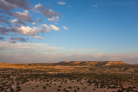
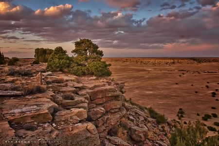
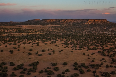
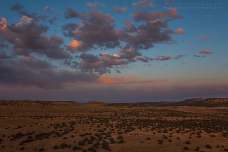
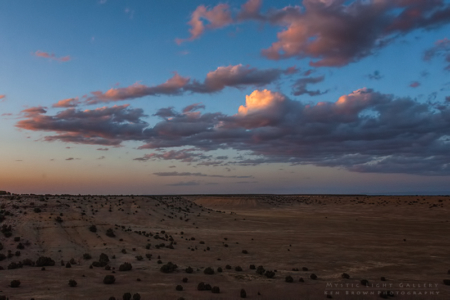
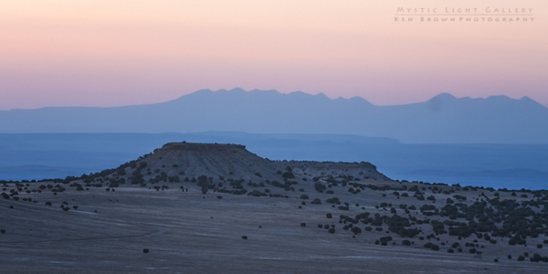
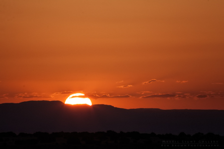
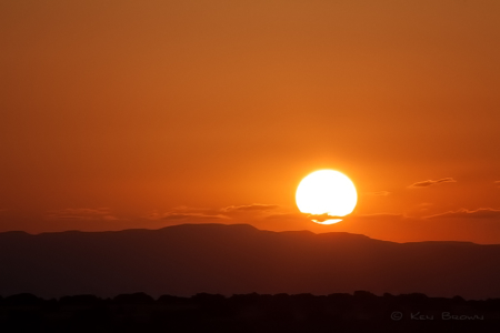
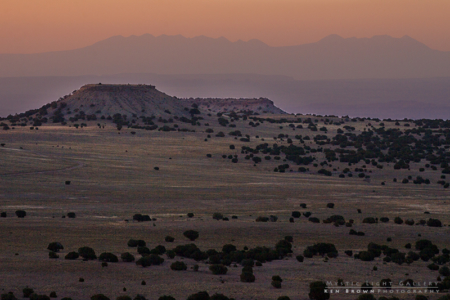
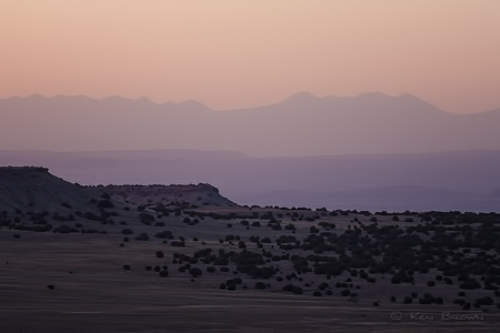
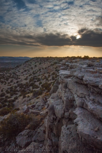
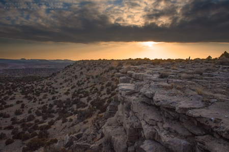
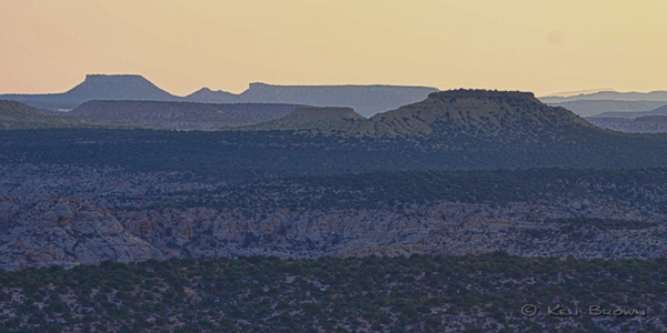
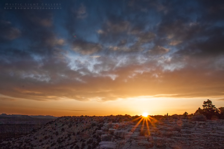
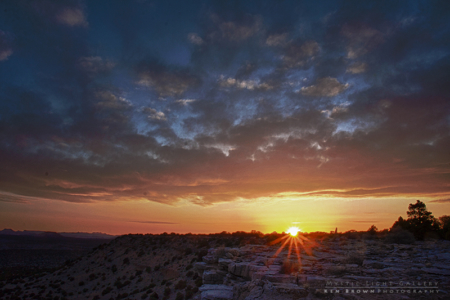
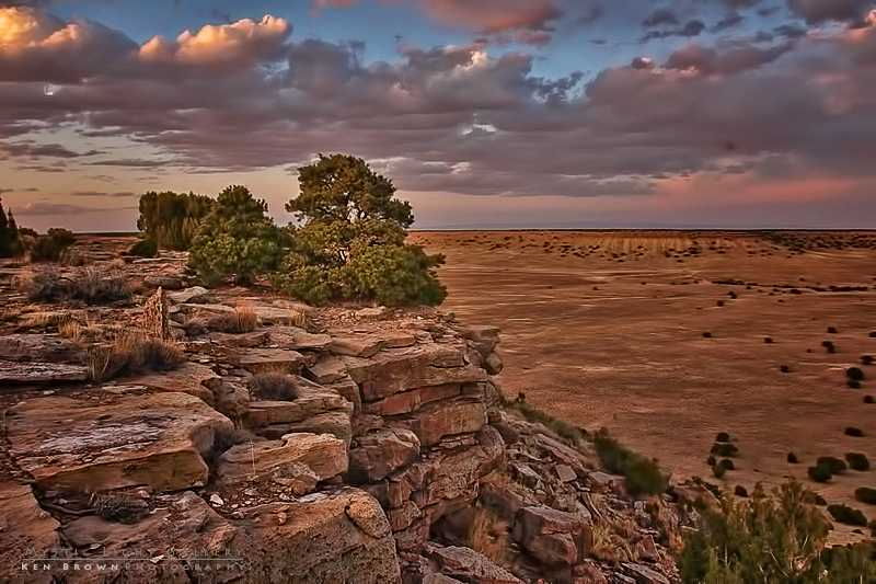
I drove down on a Friday afternoon and had camp set up by 6:00 PM. This gave me time to prepare my dinner of yes, you guessed it…Ramen and canned chicken…the old standby staple of my adventures. Then scout out and be set up and ready for what turned out to be a very pretty sunset. The end of the road and my camp sat on top of Cliff Dweller Mesa, overlooking Eardley Canyon and the many sandstone towers in the distance.
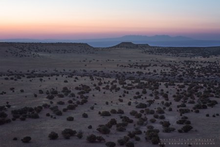
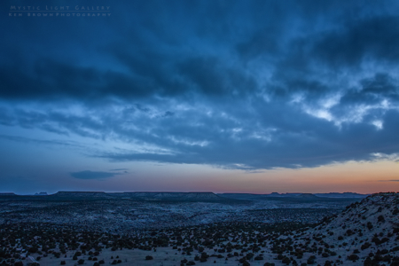
The following morning I was up before dawn to photograph the sunrise and get an early start on my adventure into Eardley Canyon. The sunrise was pretty average with a mostly cloudless sky, therefore not much drama to capture. But I did manage to pull off a handful of good images from it.
My research stated that one should travel west from the mesa to locate a major drainage that dropped down into Eardley. Some of the reports I had read talked about having some difficulty locating this correct drainage. And sure enough, they were right…I thought that I had travelled far enough west to gain this entry canyon, but three canyons later, I still had not found the right one. Each one that I thought was right would end in these sheer cliffs several hundred feet above the bottom of Eardley. As you can imagine, this created an enormous amount of additional effort, as I had to hike down and then back up each canyon. Then hike up and over the next ridge to drop down into the next canyon only to do it again…and again…and again.
Finally, I was sure I had found this major drainage that I had read about. When I neared Eardley Canyon proper, I had to pick my way down some very steep and exposed rocky faces. The downclimbing was about 4th class. It was exciting and exhilarating, but I was pretty certain that I could climb it back out when I returned…if I could find the location on return. So even though there were some small rock cairns marking the location at the bottom, I decided to construct my own large cairn. I have found that when in doubt, I will be more likely to remember the location if I construct my own there. I took a good look around at the surroundings, picking out some notable geologic features and started down the canyon.
I had no actual topographic map with me, but had downloaded to my phone a small version from one of the websites I had researched. This made me feel a little better, but in reality did not really serve any useful purpose.
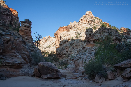
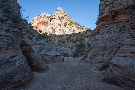
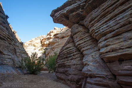
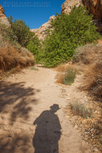
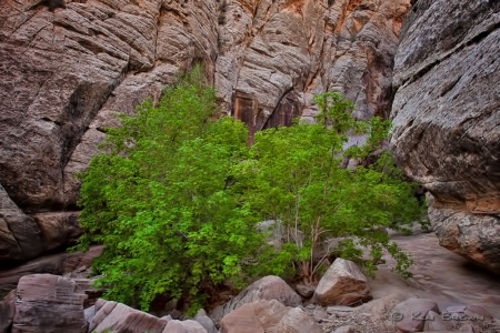
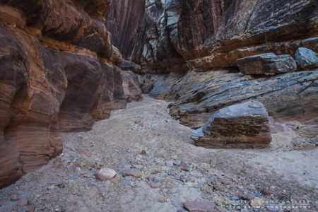
According to my research, if I had the stamina, I could travel about 6 miles down the canyon before reaching any technical difficulties. This would present itself as a series of dryfalls into pockets filled with water, requiring ropes to rappel down. As it turned out, I did not feel I had it in me to reach this spot. It would have meant about a 17 mile round trip hike. Instead, I turned around at what I estimate as a mile and a half short of this location. And indeed, I did not run into any technical difficulties other than picking my way up, over and around large boulders in some of the narrow sections.
The return seemed very long as I began to tire in the heat of the day. I had brought more water with me than I normally would, and that was a wise decision as there was no water to be found in the canyon. That is unless you were willing to drink from one of the stagnant cesspools that looked like they had been there since the beginning of time.
The hour was nearing mid afternoon by the time I finally reached the cairn I had constructed on my way in. I knew that now the going was going to really get tough…so I’d better get going…because that is what the tough do…they get going. right? Well I was to soon find out just how tough I was. Upon reaching my cairn, I noticed a couple of other cairns marking a path up the cliff. Only this was not the way I had come down. I thought about it for a bit and decided that I would follow these cairns in hopes that it marked the easiest way up through the cliff. I decided about 100 feet up, as the 4th class scramble turned to 5th class climbing with a backpack heavily laden with camera gear, that I should in the future probably stick to my own 50+ years of route finding experience. At one point I contemplated down climbing, but quickly decided that I would probably end up back down on the canyon floor much quicker than the body can survive. And I had not seen another soul out here, so whatever I did, I had better be careful and self sufficient. Because there ain’t no one out here to rescue me! I clung to the rock, inching my way up…palms sweating, legs trembling, hundreds of feet off the canyon floor. I thought it was all over when I reached a spot where I was making my way up a crack, and near the top of the crack, the rock overhung on my right side. I tried to wiggle my way up the center, but my backpack ended up getting wedged and I was stuck, hanging by mere fingerholds. Somehow I managed to free myself, hung back out away from the cliff and clawed my way past the section. My adrenaline was pumping fiercly at that point and when I finally made it to a small level perch, I crouched on my knees and shook for many minutes until the adrenaline rushes subsided. I had made it, from here the cliff eased off a bit and back to 4th class scrambling and 3rd class steep hiking. I had reached the top of the entry/exit drainage, now all I had to do was cross the 2+ miles of up and down desert to reach the base of Cliff Dweller Mesa, the climb the several hundred feet of steep slope to my camp. I was well into my reserve water by the time I had finished my 14 mile roundtrip adventure into Eardley.
Back at camp, I was too tired to even cook up some Ramen and canned chicken, so i merely ate some beef jerky and cheese and called it dinner. After dinner, I was graced by an even more beautiful sunset than the previous night. I finished the night with a great long exposure shot of this tree in camp that I had hung my lantern in. I did not notice until processing the image, that the lantern light lines up with the horizon and looks like the setting sun. The only giveaway is the way the light falls on the tree…
It is trips like this that truly make me feel alive and think about how precious and thin the chord of life we have is…we should treasure each moment for what it is….because in a blink of an eye, it will be gone forever.

