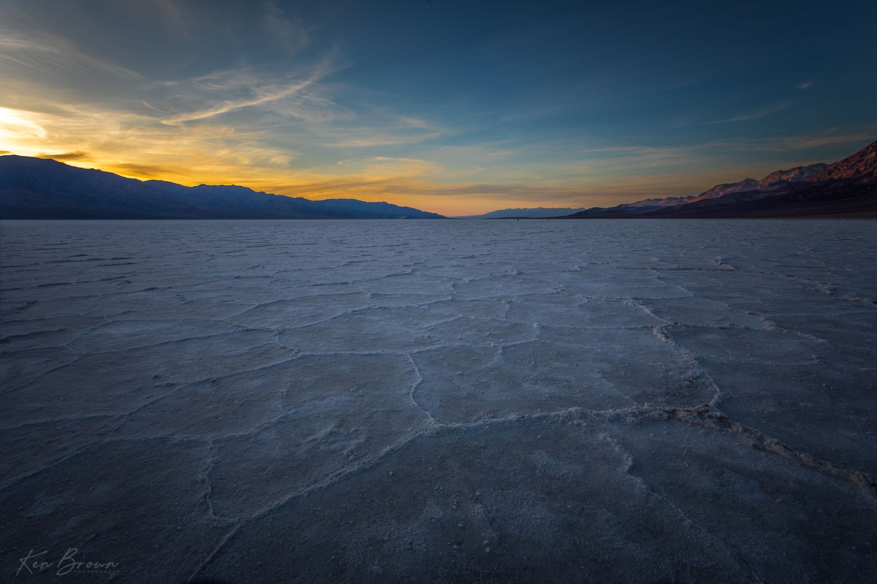
We walked Into The Valley Of Death… Ohhhh my gosh! We are totally hammered! The work on the house and the miles traveled and hiked are beginning to take their toll… But Death Valley National Park is totally amazing! It is desolate, barren and hugely expansive. But has a beauty that I find to be difficult to put into words! Maybe the best description would be Otherworldly…
We were unable to get a campsite at Furnace Creek, which was our first choice as it has some trees and bushes to provide shade and privacy, but managed to secure one at the nearby Texas Springs campground. Not my idea of a great camp spot but it would do. After all, we would be spending most of our time out exploring.
Camp set up was exhausting as the ground did not accept tent stakes easily. I kept thinking that we were hitting rocks but found that it was just that the dirt was as hard as concrete. This required violent pounding on the stakes with the largest rocks we could hold while carefully trying to not crush our hands in the process!
With camp set up it was time to explore! We started at the Visitor Center for a quick look and then headed south out of Furnace Creek to Badwater Basin. The lowest and hottest point in North America… 282 feet below sea level and the hottest recorded temperature of 134 degrees!
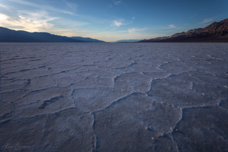
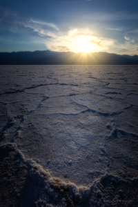
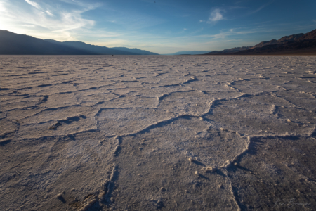
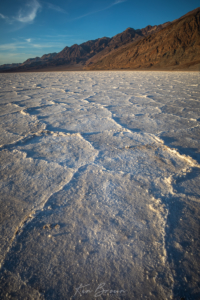
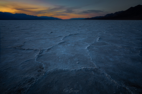
It was not that hot, but in the upper 80’s, still felt pretty warm. We were here in the middle of the day to scout out in search of the legendary hexagonal shapes out on the salt flats so that I could return at sunset to capture them. The salt flats were created when an ancient lake (Lake Manly) dried up and left the salt deposits. The hexagonal shapes that I was looking for are caused by repeated freeze–thaw and evaporation cycles. The exact location of these formations varies due to the rains that will wash them away and the cycle will start again.
Why was I looking for these formations? Because crazy photographers like myself find them to be a very unique and otherworldly foreground subject… And what better time to capture them than at sunset! I was actually surprised at how easy it was to find the formations. All it took was hiking 1-1.5 miles out into the middle of the salt flats. I set a waypoint on my GPS app so that we could find the location when we returned later in the evening to photograph.
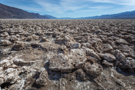
After the trek back across the salt flats to the car, we drove out to the the Devils Golf Course which is a very large area covered with jagged sharp salt formations the size of small boulders, an endless sea of them!
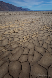
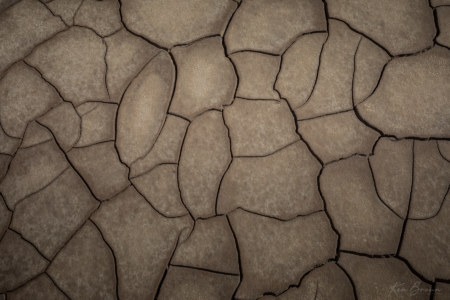
I also found a couple of locations with dried and cracked mud that I as a photographer cannot get enough of… I wish that I had time to photograph these at either sunrise or sunset. But with only a couple of days here, I needed to prioritize the locations for these golden hours.
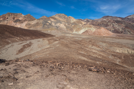
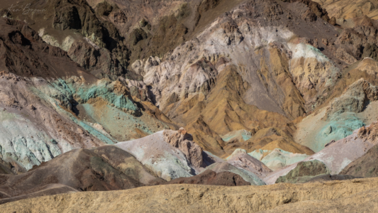
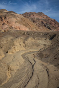
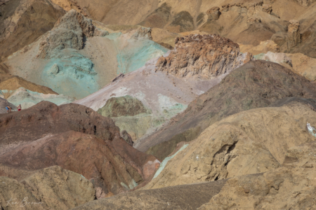
Continuing back north, we took the Artists Drive which takes you up into the multicolored foothills for a short hike to view Artists Palette. All of the various colors are created by the oxidation of different metals in the soil.
The afternoon was getting on and we decided we did not have enough time to go back to camp for an early dinner and still make it out to the middle of Badwater Basin for sunset. So we enjoyed snacking on some trail food in the comfort of the air-conditioned car before driving back south to Badwater.
We made the hike back out onto the Badwater salt flats and Harmony decided to carry her packable camp chair so that she could comfortably kick back while I spent a couple of hours photographing. The sunset was pleasant but not spectacular. The otherworldly surroundings made for some exceptional images as the sun set over the Panamint Mountains to the west!
Donning headlamps, we made the seemingly endless hike back across the flats in the dark. It was a magical day that will not soon be forgotten…



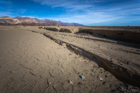
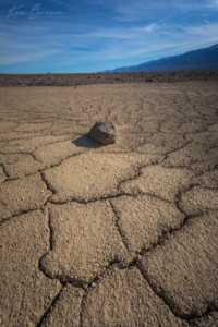
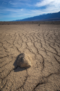
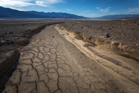
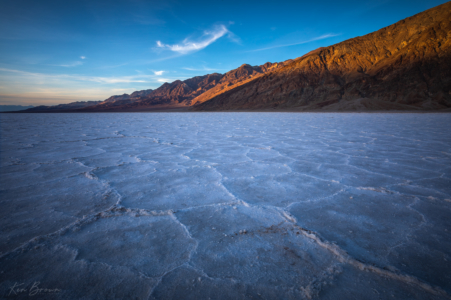
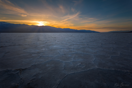
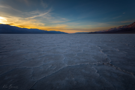
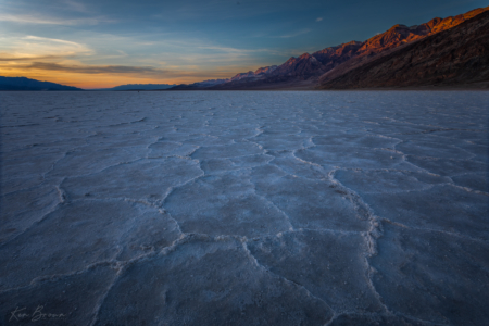
Very nice Dad! The foreground focus is awesome in these shots!
Thanks Taylor! All the images from Badwater Basin I used a technique called Focus Stacking to blend 3 separate images focused on near, mid and far ground in Photoshop.