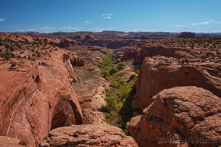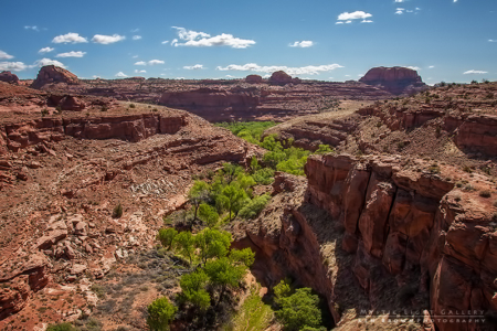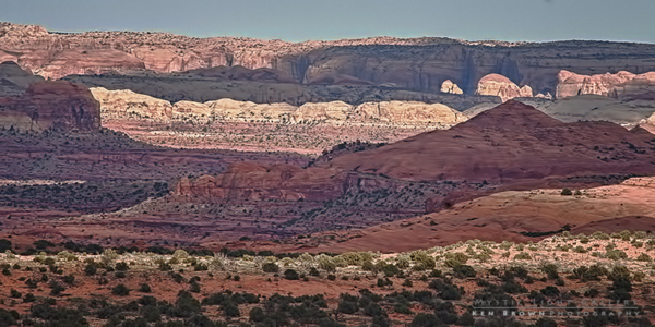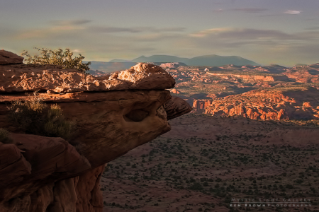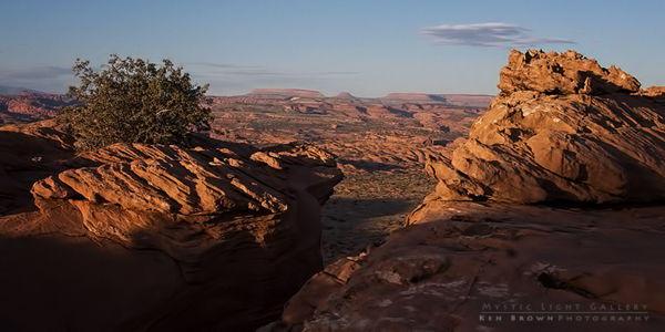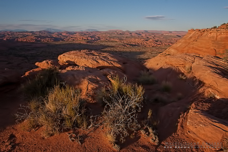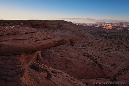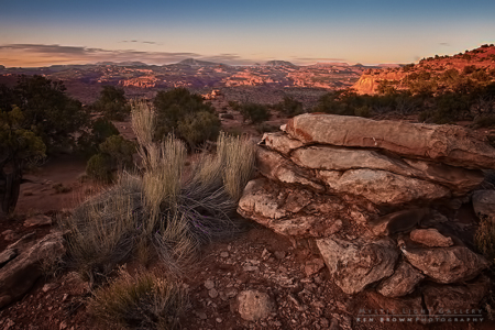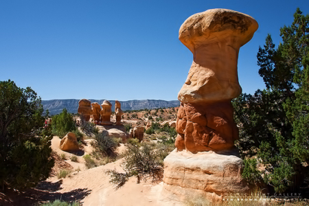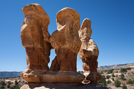
Memorial Day weekend…3+ days to explore and try to get lost in the wilderness in Utah! This would be SuzAnns first true wilderness adventure with me, so I tried to choose one that she would enjoy and inspire her to do future trips with me. As most of you know, I tend to put myself a bit too far out on the edge on these types of trips, so I really did try to do my best to keep it reasonable. My choice was to get in one last desert trip before the summer temperatures got to be unbearable. And this trip had everything in a trip to the Escalante one could ask for…Aimless desert wanderings, Escalante River crossings, the search for hidden ancient petroglyphs, slot canyons and more!
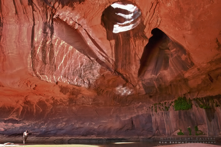
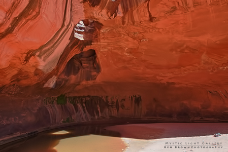
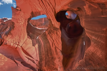
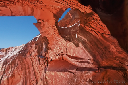
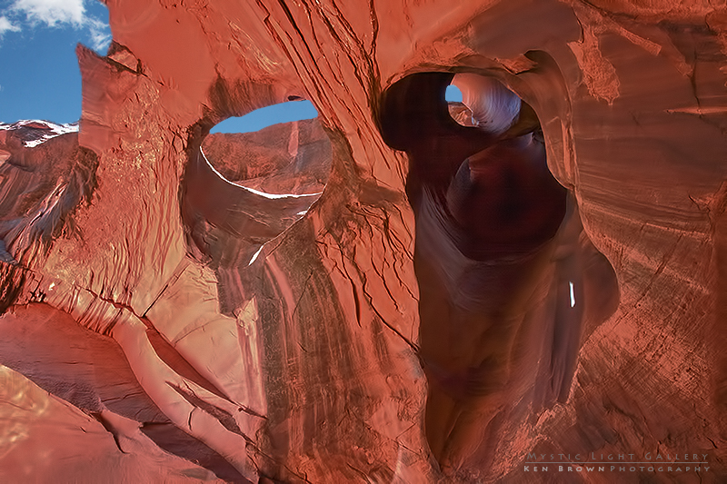
We, or more accurately, I decided to head south down into the heart of the Grand Staircase/Escalante National Monument. Back down the “Hole In The Rock” road to search for a slot canyon called Neon Canyon and The Golden Cathedral. The Golden Cathedral is a box canyon with overhanging red Navajo sandstone walls with two giant holes (or windows) in the top, 125-150 feet up. Many technical canyoneers will start at the opposite end, where there are technical difficulties, and end with a rappel through the windows.
The trailhead for Neon Canyon is at the end of the same dirt track that I had been down in March of 2011, when I explored part of the Egypt 3 slot, so I felt confident that we would at least have no trouble finding the starting point.
By Thursday, prior to leaving, weather forecasts were calling for high winds to scour pretty much the whole state of Utah on Saturday. So I thought it would be a good idea if we only drove part way down on Friday night, find a place to camp for the night and then spend the better part of Friday finishing the drive down. Hopefully avoiding spending too much time out in the wind when we got there.
We decided to camp Friday night out in the area of Fish Lake, and found a spot off the beaten track to set up the tent in the dark among the sage brush. The night turned out to be a bit colder than I had anticipated, with temps dipping into the low fourties.
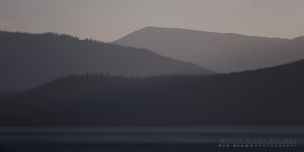
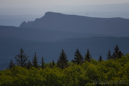
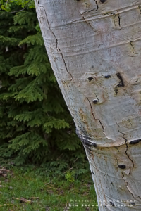
Saturday morning dawned cool and clear, with the wind already starting to blow quite hard. Unfortunately, SuzAnn, who regularly suffers from migraines, awoke with the telltale signs that one was on the way. We packed up the tent and took a quick drive by Fish Lake for a look. By that time the wind was a very steady gust, with much particles in the air, creating an almost foggy look at the lake. We made our way down the highway into the little town of Torrey, on the edge of Capital Reef National Park, to get some much needed coffee. By that point, SuzAnn was really beginning to suffer from the migraine. So on our way out of Torrey, up over Boulder Mountain, we decided to find a good spot to pull over and let her catch a quick cat nap to try and get rid of the pain. During this time, I wandered the nearby forrest taking some photographs of the aspen and the Waterpocket Fold within Capital Reef in the distance.
The drive down off of Boulder Mountain into the Grand Staircase/Escalante National Monument is one very scenic piece of road. As the terrain changes from near alpine mountain pine/aspen forest to the sandstone desert canyons. We tried to kill some time enjoying the scenery and sights on the ride between the towns of Boulder and Escalante.
When one ventures down the “Hole In The Rock” road, you had better have a full tank of gas, because it doesn’t get much more remote than where we were headed. So we stopped in Escalante to fill up and pick up some last minute supplies and ice for the cooler.
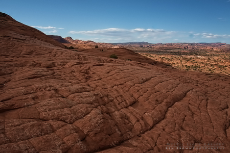
Once we were back on our way, the childlike excitement began to take control and I started to make very good time as we drove down the “Hole In The Rock” road. When we reached the side trail, I was not near as nervous about it as I was the previous year. This time I at least knew what to expect. But as anyone who spends any time out in this wilderness can tell you, the road conditions will change from week to week. We had some difficulty in a couple of sections where this white powdery sand tried to suck us in. I quickly learned that speed and momentum was our friend in these sections. Drop it down to a low gear, engine whining from the high revolutions, tires spinning, sand, dust and rocks flying. A couple of spots required multiple attempts to get past, but usually, where there is a will, there is a way.
When we neared the end of the road, I bagan to look for potential spots to set up camp. I recall seeing one such spot and turning to SuzAnn and asked her what she thought. The look on her face was priceless and her remark was something like…”you are going to camp there for the weekend?!”. I was thinking…”well, yes, looks like a good spot to me…” Had I given it some thought, I would have remembered her fears of me taking her out into the desert to camp in a sandstorm. Well…the nightmare was quickly becoming reality!
We found a spot that we agreed on, and got to the difficult task of putting the tent up in the sand filled wind. Once the tent was up, we crawled in and decide to try and nap till the wind subsided. Reports stated that should happen around 6PM. That meant we had 4-5 hours to get through. After about an hour of laying in the tent listening to the wind howling and violently shaking the tent, I rose, looked over at SuzAnn to see that she was completely covered in a coating of orange sand. Ok…another one of my questionable wilderness adventure decisions…to take her out in the desert to camp during a sand storm. We retreated to the car and tossed around the idea of bailing out in search of a room for the night, but in the end decided to stick it out. It was indeed at least 6PM before the winds subsided and then I began the task of cleaning all the sand out of the tent and everything else that was in the tent. For me it was just another test that Mother Nature threw at me…for SuaAnn, it is an experience that she will not forget soon enough!
The following morning, we were up before sunrise in preparation for the reason why we were there…Neon Canyon. The hike, if we stayed on course, would be about a 7 mile round trip hike. As it would turn out, we hiked 8-9 miles due to route finding and side detours/exploration. The distance doesn’t sound too extreme, but couple that in with miles and miles of loose sand (like beach sand), especially the uphill sections, and you have one very exhausting hike.
The overall trail description from Tom’s Utah Canyoneering Guide is as follows…
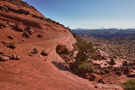
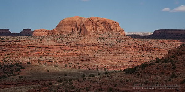
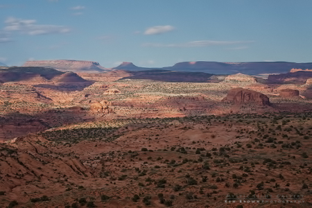
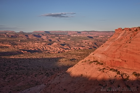
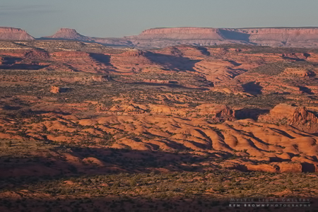
The trail leads down the slickrock and is well cairned. It was used for cows, so is easily followed. Before heading down, look out across the landscape and espy a few landmarks. The slickrock of Egypt sweeps down to a large, red, sandy flat – the Egypt Bench. Three miles away, to the ENE, is a distinctive rounded dome (5270). This marks the mouth of Neon. Somewhat to the north of this, the branches of Fence Canyon are visible, as big gashes into the bench.
Three options for getting to Neon are available:
Beeline: You can beeline across the bench toward the rounded dome (5270). It gets lost behind the rise on the bench (5179), but just slog in that direction. Near the river, an easy descent is found about 100 feet downstream from the mouth of Neon. Though direct, this route is the least interesting.
Left-hand Route: One can stay left of the Fence wash on the bench, then follow the left edge of Fence as it becomes a serious canyon. Descent down the ridge between the branches of Fence is easy. Follow Fence to the Escalante, then follow that south to the mouth of Neon. This route is well-cairned and popular.
Fence Canyon Route: More fun, and more scenic, Fence Canyon forms an interesting play-slot cutting through the sandstone hills on the Egypt Bench. From the trail, follow the wash until it starts to form a canyon. Exit right onto sand and rock on the right side of the canyon, and follow the edge for 1/2 a mile or so, until an easy descent into the canyon can be made. Dump the packs and wander up-canyon, stemming and climbing as far as time, and your tolerance for swimming, allows (30-60 minutes round trip). Return to the packs. Continuing downcanyon, Fence turns into a wide slot (with shade – this is good) as it pierces a bluff and opens to a slickrock valley. There is a hidden arch on the left, and the slickrock area ends in a big drop to the bottom of Fence. Traverse the right edge of the slickrock (exposed, 4th class, but doable with big packs) and gain the bench beyond. Turn right, and climb sandhills until the rounded dome can be seen. Beeline to the river, and descend via a wide, moderately-steep sandy slope.
We had chosen the “Beeline” route in order to reduce the milage as much as possible. But the desert can be misleading and in our case indeed was. We ended up following the “Left-Hand Route”, which was just fine, as it turned out to be extremely scenic to follow the edge of Fence Canyon down to the Escalante River.
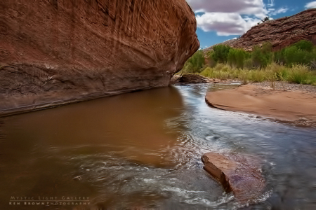
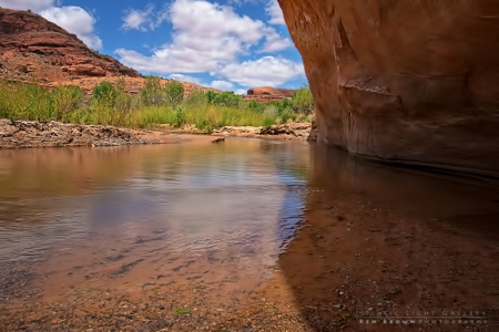
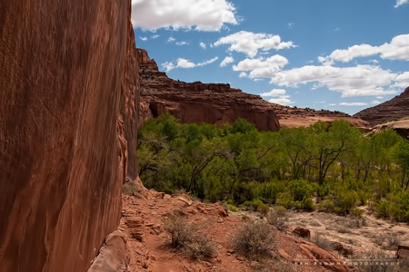
The Escalante River is a beautiful little river that creates this oasis of life along its shores as it winds its way all the way to Lake Powell. And after making your way for miles across the hot desert, its waters are very much welcomed to wade in. And wade in it we did, over and over and over again, as we made our way south looking for the entrance to Neon Canyon.
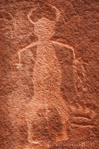
Shortly after one of these river crossings, we came upon this area that to me looked like…if I were an ancient native people, I would carve my drawings in that cliff up there. So up I went to have a look…and sure enough there they were, the petroglyphs I had read about…I just love that stuff, I find it to be fascinating. I was amazed at the amount of drawings that were there. Unfortunately, over the years, disrespectful individuals had left their own carvings alongside the ancient ones.
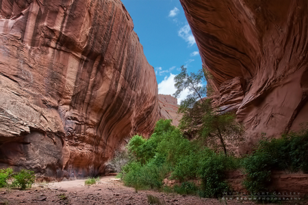
Just beyond the petroglyphs, was the mouth to Neon Canyon. We were both already getting tired, but the Golden Cathedral was supposed to be only a half mile up the canyon. Neon was beautiful…towering red Navajo sandstone walls hundreds of feet high, with vegetation and large trees…just beautiful. As we continued up the canyon, we could hear voices calling out and knew they must be coming from the Golden Cathedral.
When we arrived there was only one couple to be seen, but other voices were heard. When all of a sudden, from through one of the giant holes in the ceiling came this rope, followed by a guy rappelling down into the pool of water below. What a sight! Kind of a climatic ending to our hike…oh, but wait…this is not the end…this is the halfway point…goodness, better rest up, refeul and rehydrate…we have a long, long, very long way to go before we get out of here. But for the time we just soaked in the incredible beauty of this place that most will never even know exists.
The hike out was as exhausting as it is primarily an uphill hike out of the Escalante River drainage up to the top of the Egypt Bench. Much of which is in the loose sand I described earlier…for every two steps up, you slide back down one and a half steps…slow going. And the coaxing that SuzAnn needed was getting ever more frequent. The thought of huddling together in the rocks somewhere for the night did not sound that appealing to me, so I continued to try and push us on with the ever watchful eye on the time and amount of daylight left.
In the end we had made it…totally spent, but one amazing adventure that the two of us will never forget…

